


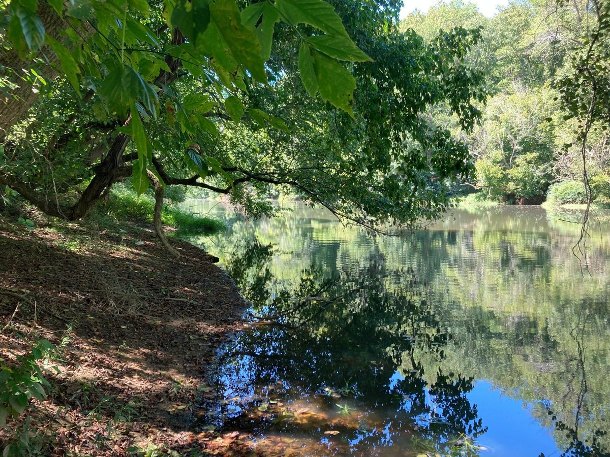
Healthy Habitats

Floodplain Protection

Mussels


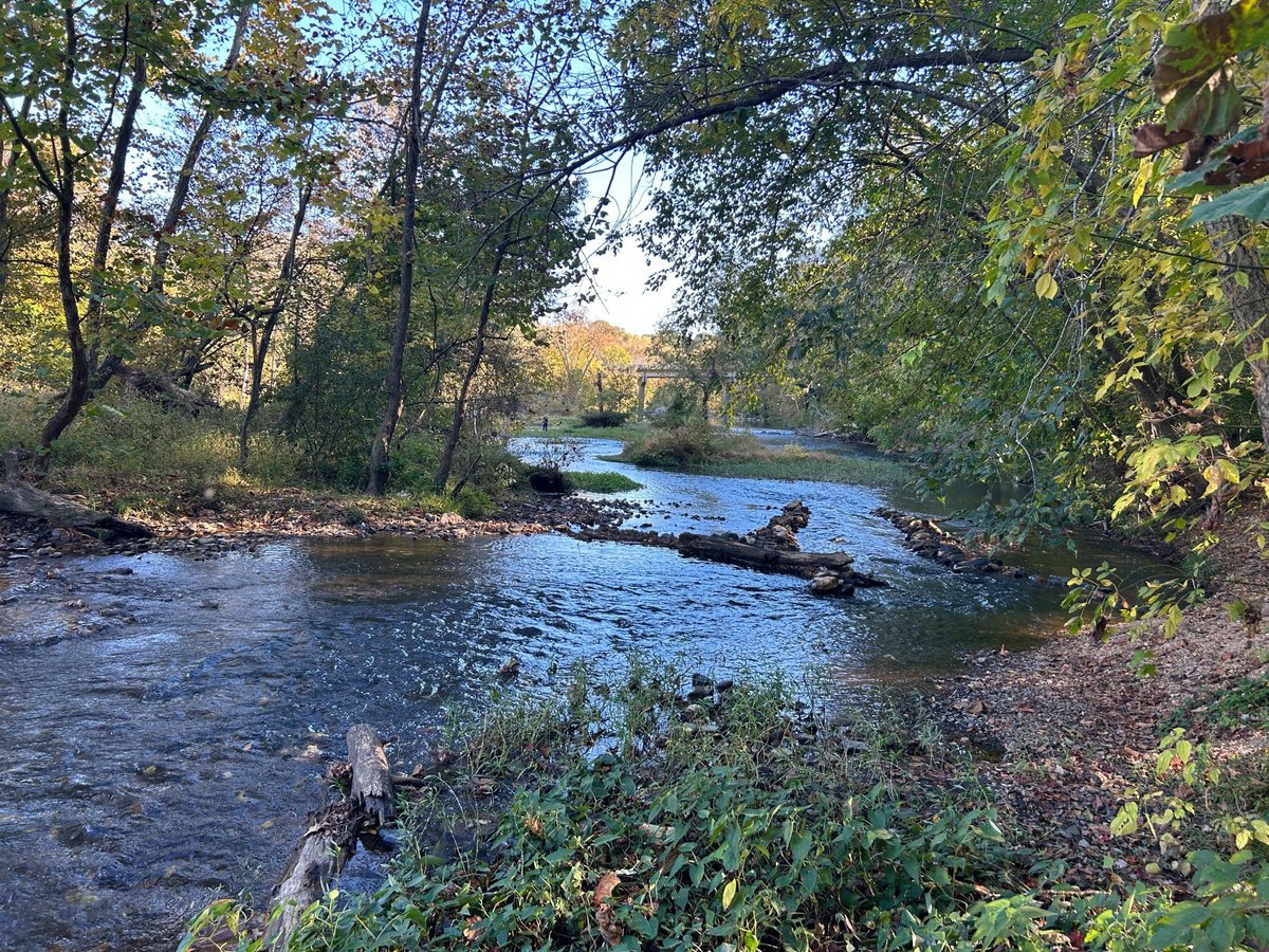
Paddling

Hiking

Trailhead

Wayfinding Signs


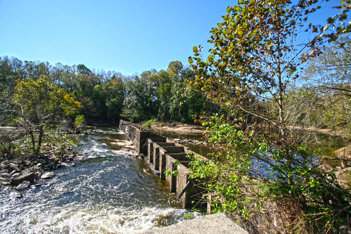
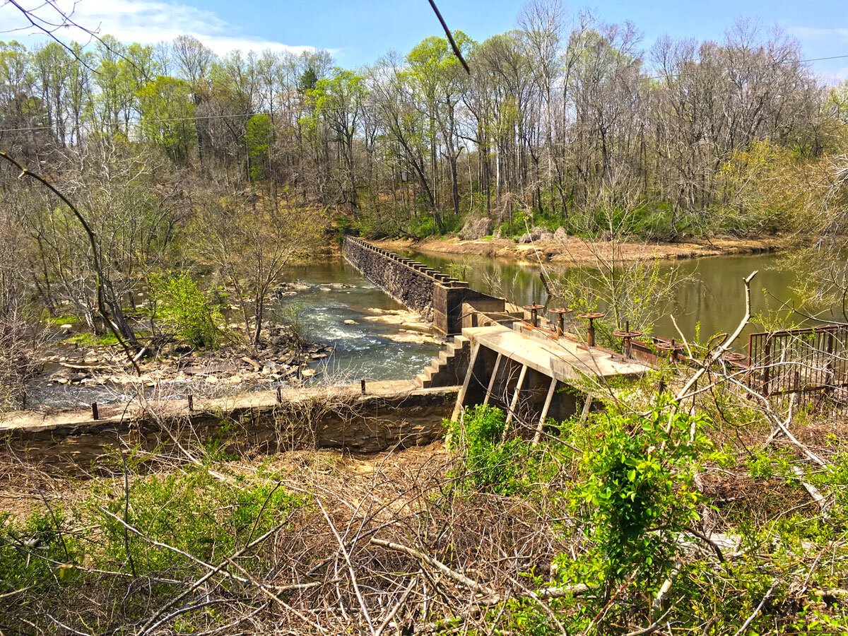
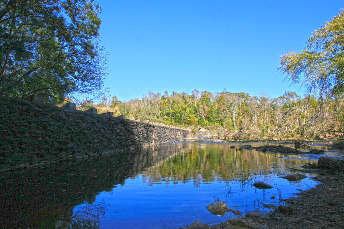
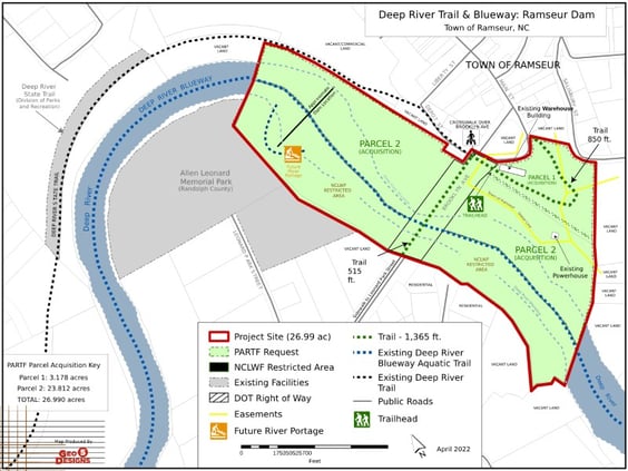 The Deep River at Ramseur Project
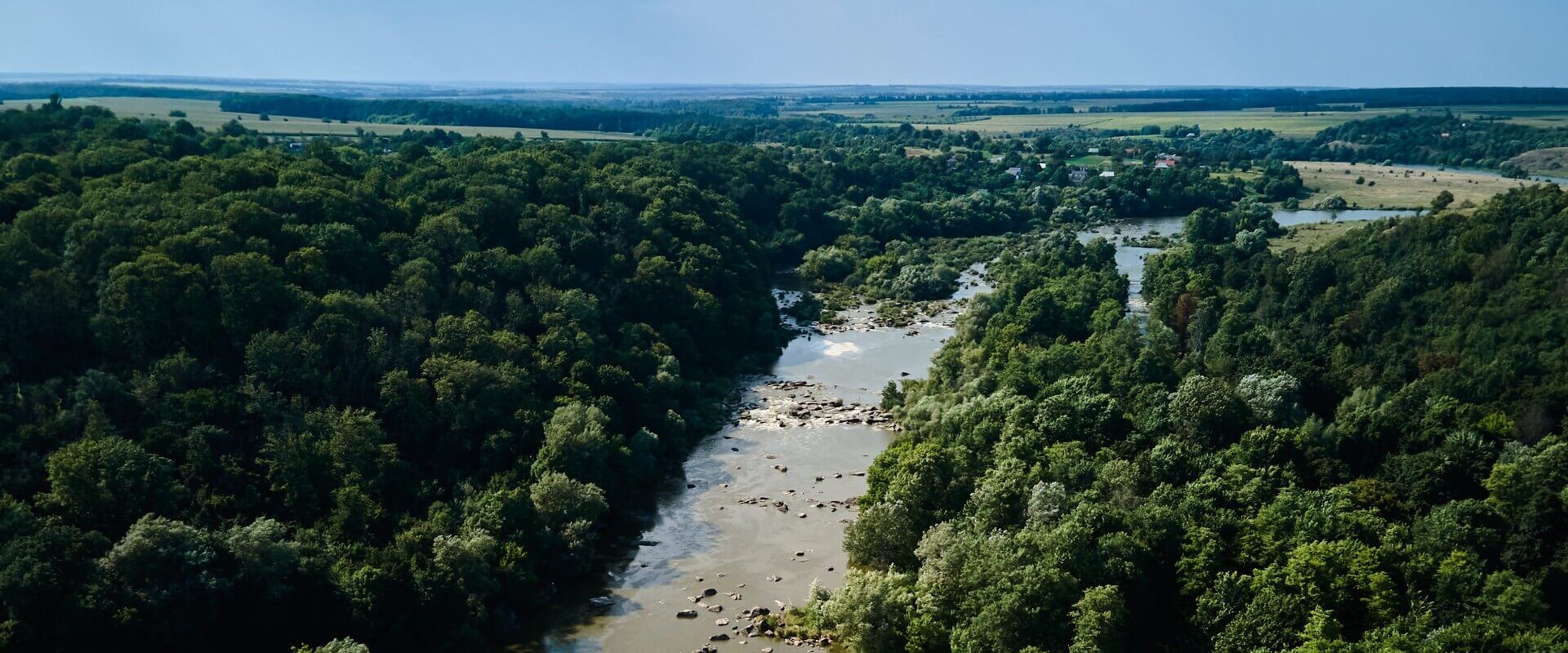
The North Carolina governor signed legislation in 2007 to authorize the Deep River State Trail, a network of recreational amenities and conservation lands that follow the Deep River from its headwaters to its confluence with the Haw River.
Since then, the state parks system, state agencies, local governments, land conservancies, non-profit organizations, and landowners have coordinated to develop a corridor of land and paddle trail recreation opportunities. The town of Ramseur and partners have developed and been establishing a section of the Deep River State Trail, known locally as the Deep River Trail or Rail Trail, which serves as a greenway utilizing the old rail bed parallel to the Deep River, as well as the Deep River Blueway, a paddle trail.
To date, the town has completed a 1.25 mile section of trail from US 64 to Harlan’s Creek, and from Harlan’s Creek to Liberty St. The Ramseur Dam project will develop another section of trail that will help connect the trail to Allen H. Leonard Memorial Park, establish a new trailhead at Brooklyn Avenue Bridge, create a publicly accessible portage around Ramseur Dam, and preserve a location for public river access near their downtown area, which the town lacks. Specifically, this project proposes to:
-
Acquire two parcels of land totaling about 27 acres at a culturally and environmentally significant site (a portion of which will be accomplished through a NC Land & Water Fund acquisition grant to Unique Places to Save, with land transferred to Ramseur)
-
Establish a total of approximately 0.25 miles of trail
-
Establish a new trailhead and crosswalk at the Brooklyn Avenue Bridge
-
Incorporate educational signage about local natural and cultural history
-
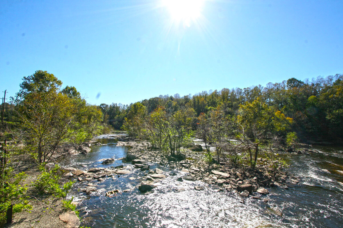
Provide a publicly accessible portage around Ramseur Dam to support the Deep River Blueway
-
Preserve a location for a public river access point