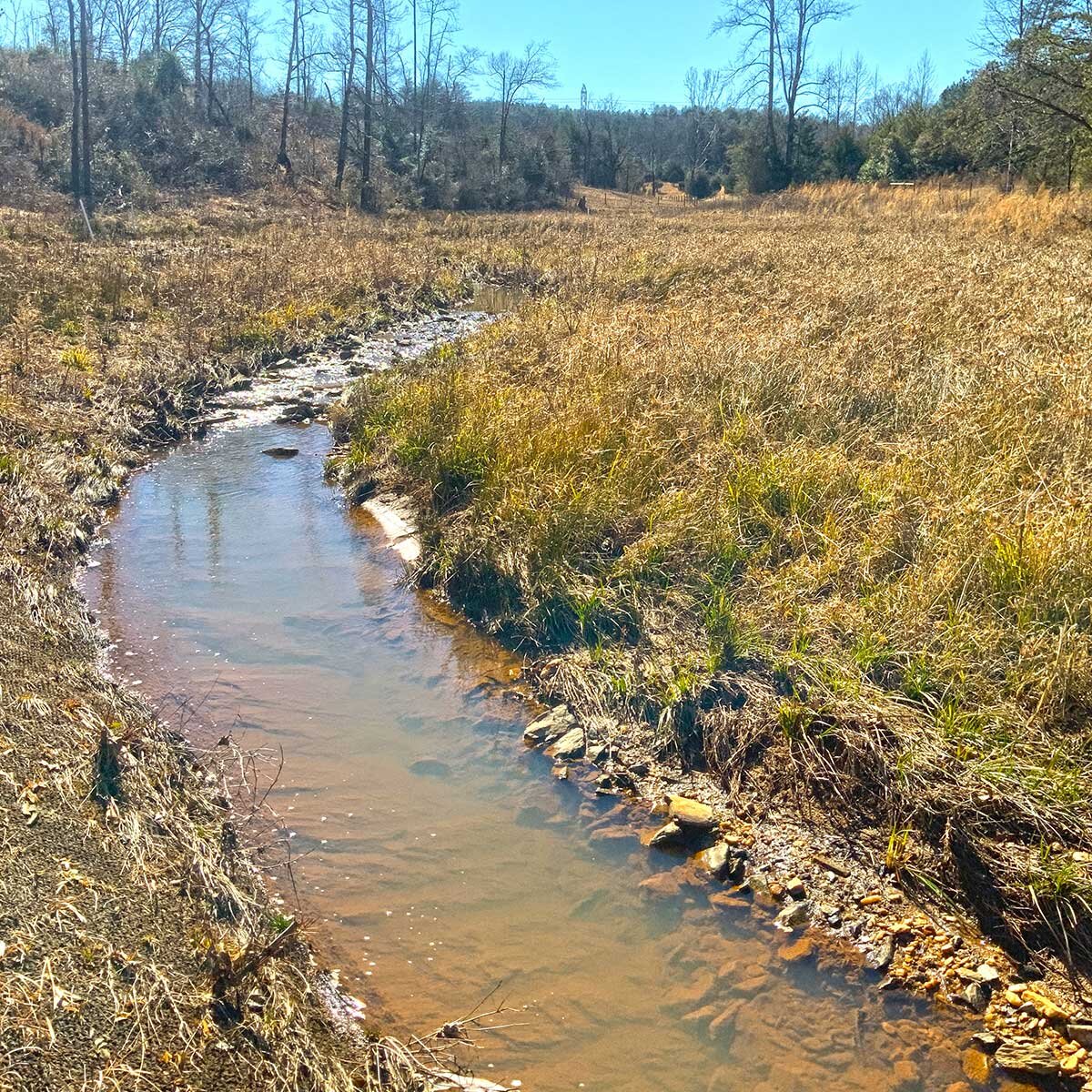

A shallow creek curving through winter grasses, its clear water running over a rocky bed.

Compass Point | Conservation Mitigation Easement

Total Acres

16.5

Project Year

2019

 
Located in the Yadkin Pee Dee River Basin of Yadkin County NC
The Compass Point Conservation Mitigation Easement is located on a cattle farm near Boonville, NC. There are three stream reaches that converge and flow directly into the Yadkin River within the Easement Property.

These stream reaches have been restored and conserved to help provide habitat and water quality improvements that directly affect the Yadkin River.

Compass Point protects 16.5 acres in the Yadkin Pee Dee River Basin, under easement since 2019, with the stream restoration and enhancement work carried out by RES. Because all three stream reaches flow directly into the Yadkin River, what happens on this cattle farm shows up in the river itself. Unique Places to Save is the conservation easement grantee, so the restored reaches are protected permanently.

Mitigation Partner

RES logo

Our Role

Conservation Easement Grantee

Mitigation Type

Stream Restoration & Enhancement


About the AuthorMichael Scisco

Michael brings nearly 20 years of experience to his role as Trusted Conservation Advisor at Unique Places to Save. He has worked to conserve over 200,000 acres across the U.S. while securing over $200M in funding and transacting $500M in land and other real estate.

Learn More

We are a trusted non-profit partner for mitigation banks seeking high-quality conservation projects


Learn More
A slow stream winds through an open wetland meadow lined with cattails and shrubs, with a band of trees on the horizon under a golden evening sky.

Michael Scisco, September 2026

What Happens After a Mitigation Bank is Complete?

Regulatory closeout is a major milestone for a mitigation bank. It confirms that the required restoration or enhancement work has been completed, performance standards have been met, and the formal monitoring and maintenance period can end....

Pink survey flagging tied to shrubs along a marsh-lined creek on the Point Farm conservation easement, with a weathered stump standing in the still water.

Mandi Taylor, September 2026

The Impossibility of Capturing Nature in a PDF

Every profession has the gap between what the job looks like on paper and what actually happens on the ground. In land conservation, that divide can be neatly summarized by one specific, legal document: the Baseline Documentation Report (BD...

Mandi Taylor smiling beside a tree in bare winter woods, wearing a cap and a daypack, with pine needles covering the slope behind her.

Mandi Taylor, September 2026

Behind the Scenes of Land Stewardship

When people think of land conservation wins, they usually picture all the work and coordination required to place land with rich ecological, historical, or cultural value into a conservation easement. And they are right to celebrate those e...

A shallow rocky river running through summer woodland.

Sam Warnock, August 2026

The River That Built a Town: Ramseur’s Past Shapes Future Conservation (Part Two)

This is the second installment in a two-part series on the Deep River restoration project in Ramseur, North Carolina. For this series, I sat down with Mayor Hampton Spivey and Town Clerk Carol Akers to hear how growing up alongside the Deep...