
In partnership with New Hanover Soil and Water Conservation District, and funding provided by the National Fish and Wildlife Foundation, 14 acres of floating marsh located on Eagles Island were permanently protected.
This critical site expands conservation protections directly adjacent to the Eagles Island Dedicated Nature Preserve, ensuring hydrologic and habitat connectivity are protected in perpetuity along with preserving the potential for future research and restoration.
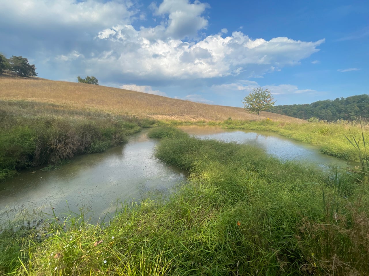
This biologically diverse includes the historic channel of Alligator Creek in addition to site contains numerous plant communities typical to tidal freshwater, intermediate marshes. and fringing uplands, providing a great example transitional wetlands.
These transitional wetlands are in decline nationwide due to “coastal squeeze,” which refers to the increasing developmental pressure on coastal uplands which prevents the ability of tidal wetlands to migrate with increasing water level and salinity.

New Hanover County Soil Map 1906 overlaid on aerial imagery from Google Earth and focused on the Alligator Creek project site. East-west highway is indicated by a double black line across Eagles Island. Coloration of Eagles Island indicates the “swamp” soil classification.
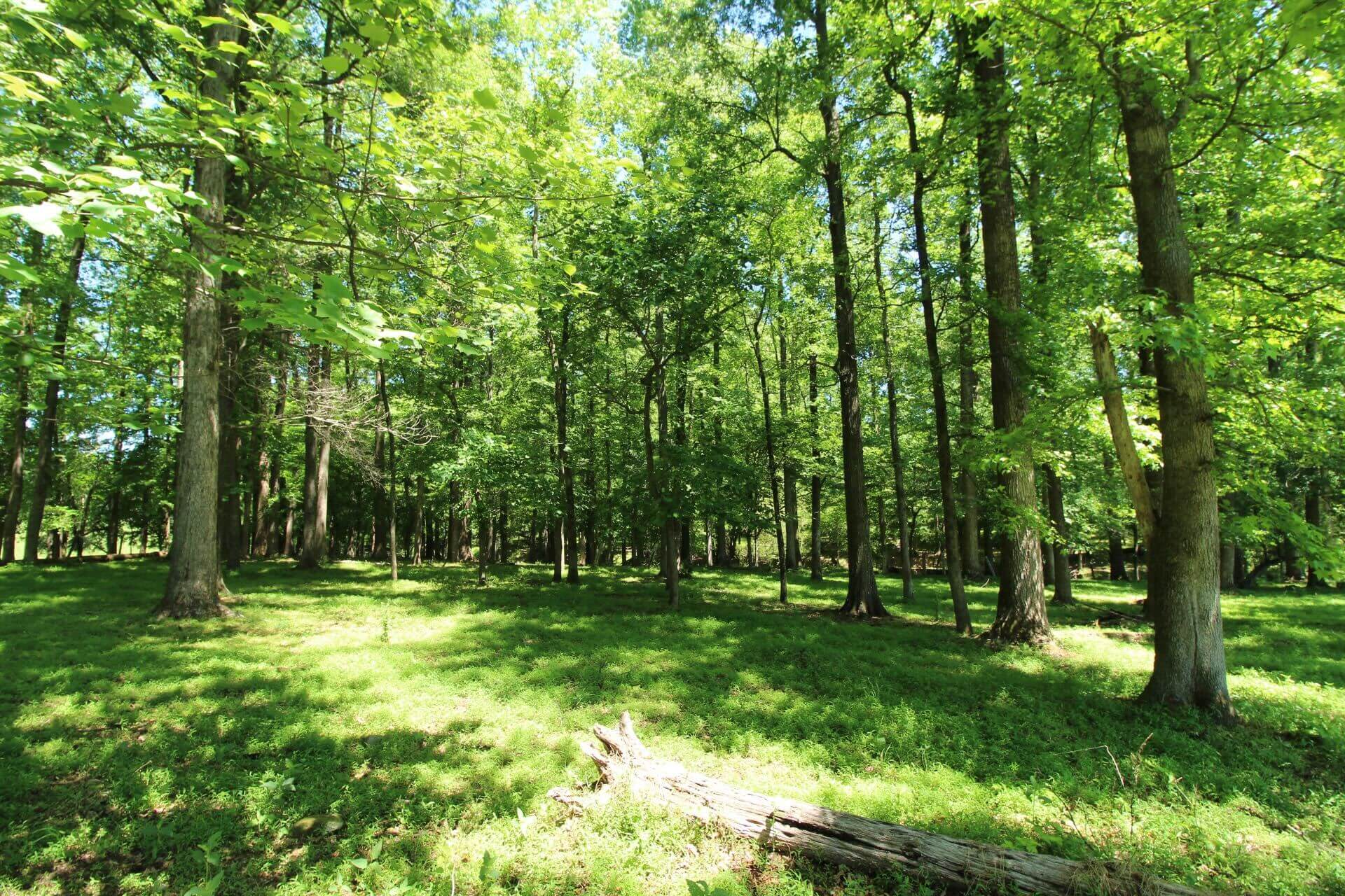
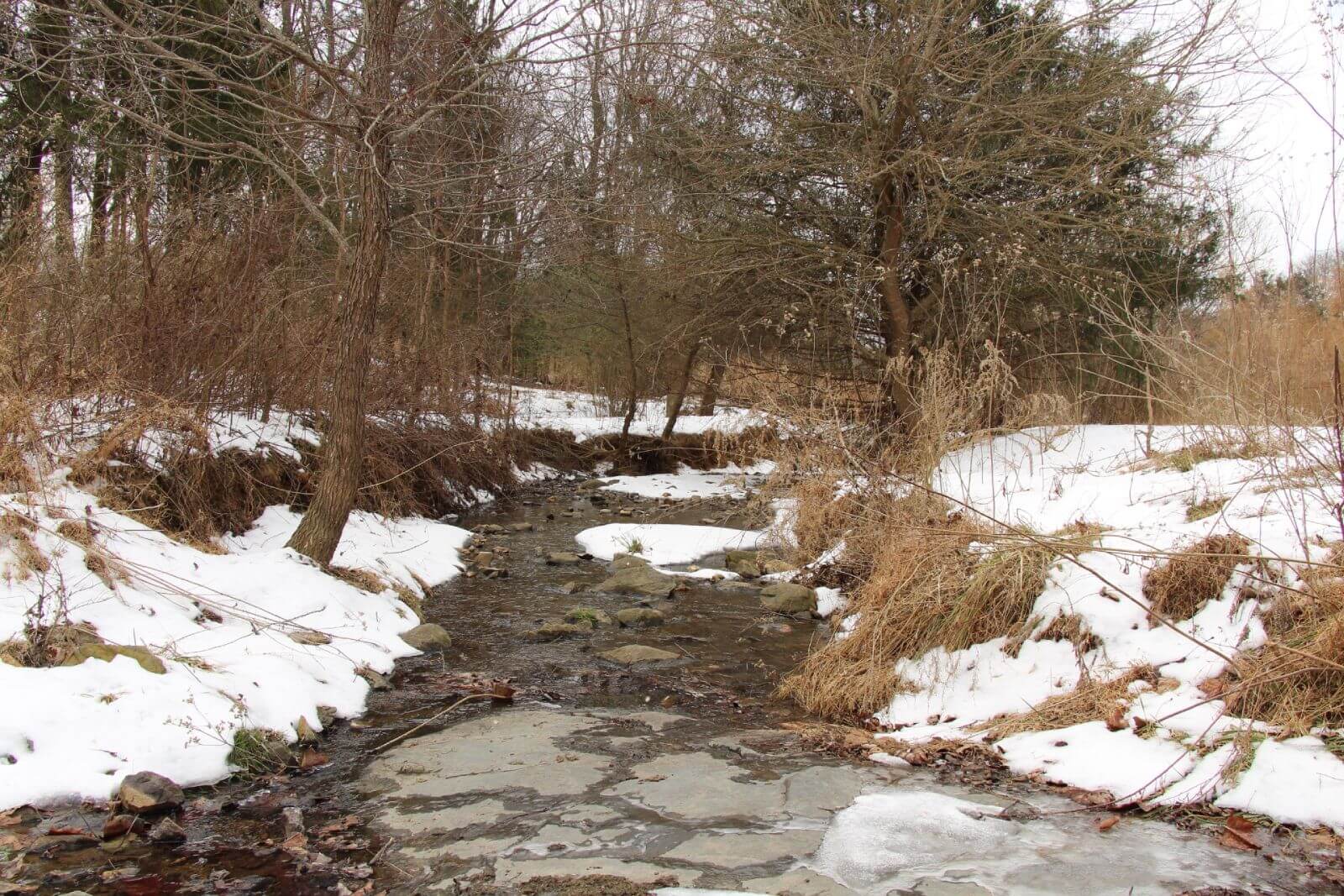
At the Alligator Creek site, there are live oaks, black cherry, and red maple trees along the upland fringe. A narrow strip of sawgrass, a particular favorite of coastal birds, stands between the uplands and the floating cattail marsh. Within the cattail marsh, there are small stands of cypress and gum. Saltier and higher water levels in the lower estuary system will prevent these cypress/gum stands in the cattail marsh from persisting in the long term and they will eventually be replaced by emergent marsh. Stands of giant cordgrass are also present and may provide additional structure and habitat as these cypress/gum stands decline over time.
The non-native wetland plant, Phragmites, is also present at the project site. While considered invasive and generally not as good for wildlife habitat, researchers have also been documenting the high productivity and resilience of this plant to changing environmental conditions.
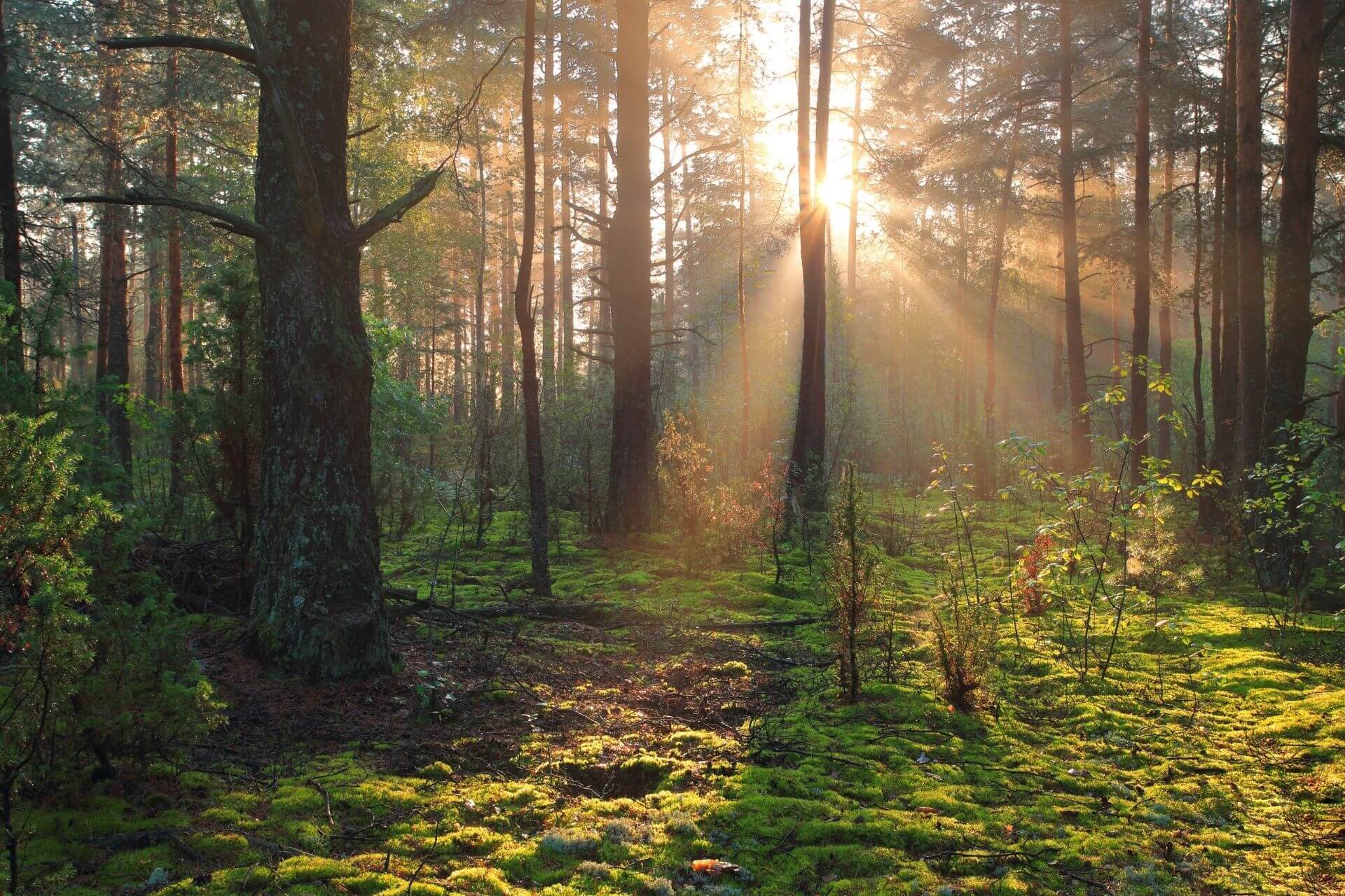
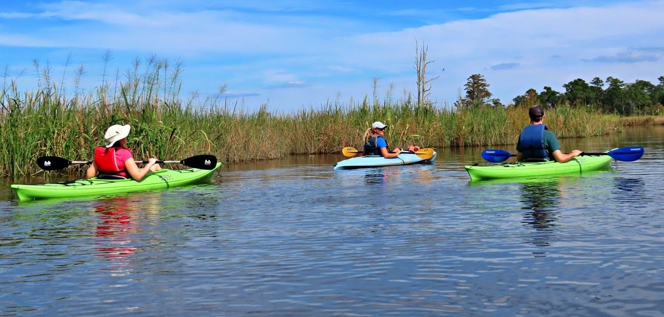
Protecting transitional marshes in the Lower Cape Fear River Estuary will help to continue to support water quality, provide wildlife habitat, and absorb stormwater in a rapidly developing area.
What is a floating marsh?
Marshes are made up of a thick, vegetative mat consisting of plant biomass that resists decomposition due to flooded conditions. When the vegetative mat detaches (or fails to initially attach) from the older sediments below, it is known as a floating marsh.
Some wildlife, such as the American Alligator, find this habitat very suitable, so be careful if you find yourself on a floating marsh!
The surface of floating marshes can rise and fall with the water level, as well as demonstrate a noticeable wobble if one jumps on the marsh surface. The surface of the marsh is typically unstable, and it is possible to break through the vegetative mat and fall through into the muddy water below.

New Hanover County Orthoimagery from 1981. Alligator Creek has filled in nearly completely and the area is mostly emergent marsh.
Where is Alligator Creek?
While Alligator Creek serves as the name of the project, it isn’t visible within the project area anymore. The history of Eagles Island provides many clues as to why the tidal creek that once connected the Brunswick River to the Cape Fear River filled in.
The development of the causeway and roads to the north and east, coupled with the levees built to support harbor and canal dredging operations to the south have likely restricted water flow into the creek enough to allow the creek to fill in with vegetation. This site serves as a reminder that hydrology is the key driver of wetlands and when water flows are significantly altered, wetlands will respond over time.

New Hanover County Orthoimagery from 1956 zoomed in on the southeast branch of Alligator Creek
Wetlands are an important aquatic resource that Unique Places to Save and our partners work hard to restore and conserve. Please consider donating to us so we can protect more wetlands across our country. Let’s make sure these special aquatic ecosystems remain intact and continue to support healthy rivers and healthy communities!
About the Author
Dr. Christine Pickens is a wetland ecologist with over 15 years of experience managing a diversity of projects across the US focused on ecological research, restoration project management, and partnership building. Her current on-the-ground efforts are focused on multi-disciplinary coordination of dam removal and conservation of imperiled wetland types while expanding public access to and understanding of nature through park development and educational outreach.
Learn More