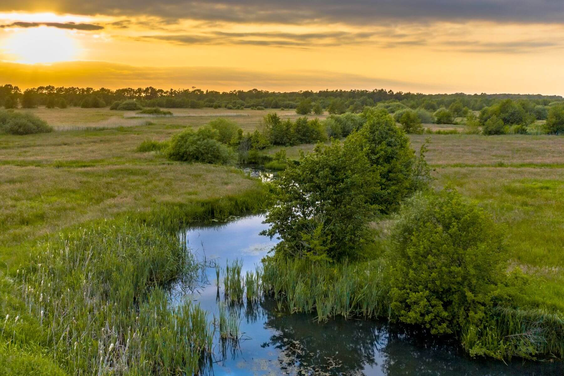

A calm pond ringed by winter woodland and dry grass under a clear blue sky.

Miller | Conservation Mitigation Easement

Total Acres

16

Project Year

2026

 
Located in Surry County of North Carolina
The Miller conservation easement protects the restored streams and adjacent riparian forests into perpetuity. At the Miller site, that includes nearly a mile of tributary streams and the connected streamside areas where the work is focused on reducing erosion, improving channel stability, and supporting healthier aquatic habitat. It also protects any wetlands and low areas that interact with the streams and help store and slow water during high flows.

A major part of what’s protected is the wide riparian buffer along the streams. These buffers are being managed to support native vegetation, limit invasive plants, and keep long-term disturbance away from the stream banks. Over time, that streamside cover helps shade the water, stabilize soils, filter runoff, and provide habitat for wildlife that depends on wooded corridors.

In practice, the easement keeps the restored area from being converted back into uses that would damage the streams such as new development, major clearing, filling or grading, and other ground disturbance. The result is a protected restoration footprint where the stream improvements and habitat recovery can continue to develop and function in the long term. 


Mitigation Partner

Naturion logo

Our Role

Conservation Easement Grantee

Mitigation Type

Stream & Wetland Restoration


About the AuthorMichael Scisco

Michael brings nearly 20 years of experience to his role as Trusted Conservation Advisor at Unique Places to Save. He has worked to conserve over 200,000 acres across the U.S. while securing over $200M in funding and transacting $500M in land and other real estate.

Learn More

We are a trusted non-profit partner for mitigation banks seeking high-quality conservation projects


Learn More
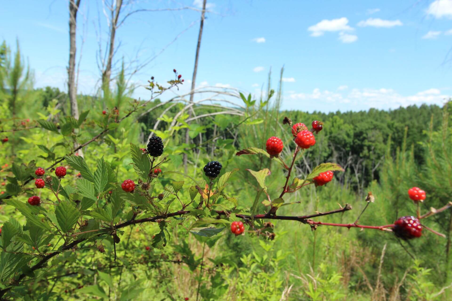
Blackberries ripening on a bramble at the edge of a young pine forest.

Michael Scisco, October 2026

Poe's Landing | Conservation Mitigation Easement

Total Acres 321 Project Year 2026 Located in York County, South Carolina Covering approximately 320.69 acres within the Upper Broad River Basin, the easement safeguards critical aquatic corridors including Bullock Creek, Bells Creek, 11 unn...

A slow stream winds through an open wetland meadow lined with cattails and shrubs, with a band of trees on the horizon under a golden evening sky.

Michael Scisco, September 2026

What Happens After a Mitigation Bank is Complete?

Regulatory closeout is a major milestone for a mitigation bank. It confirms that the required restoration or enhancement work has been completed, performance standards have been met, and the formal monitoring and maintenance period can end....

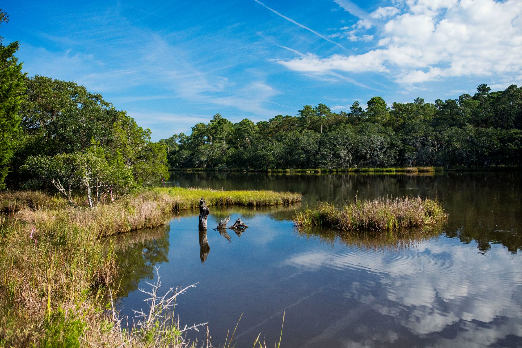
Pink survey flagging tied to shrubs along a marsh-lined creek on the Point Farm conservation easement, with a weathered stump standing in the still water.

Mandi Taylor, September 2026

The Impossibility of Capturing Nature in a PDF

Every profession has the gap between what the job looks like on paper and what actually happens on the ground. In land conservation, that divide can be neatly summarized by one specific, legal document: the Baseline Documentation Report (BD...

Mandi Taylor smiling beside a tree in bare winter woods, wearing a cap and a daypack, with pine needles covering the slope behind her.

Mandi Taylor, September 2026

Behind the Scenes of Land Stewardship

When people think of land conservation wins, they usually picture all the work and coordination required to place land with rich ecological, historical, or cultural value into a conservation easement. And they are right to celebrate those e...