
Total Acres
67.9
Project Year
2023
Located in Guilford County North Carolina
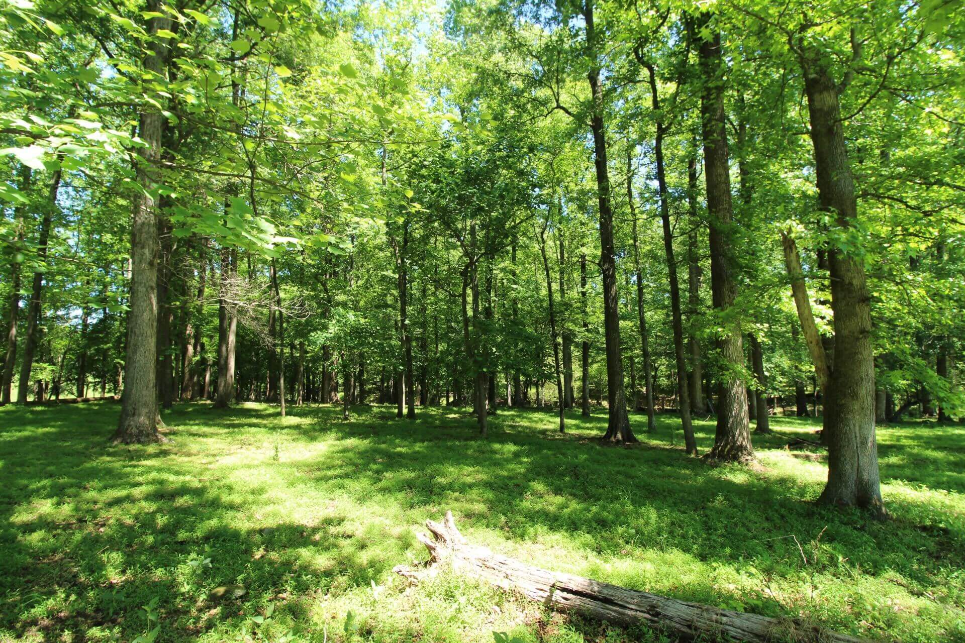
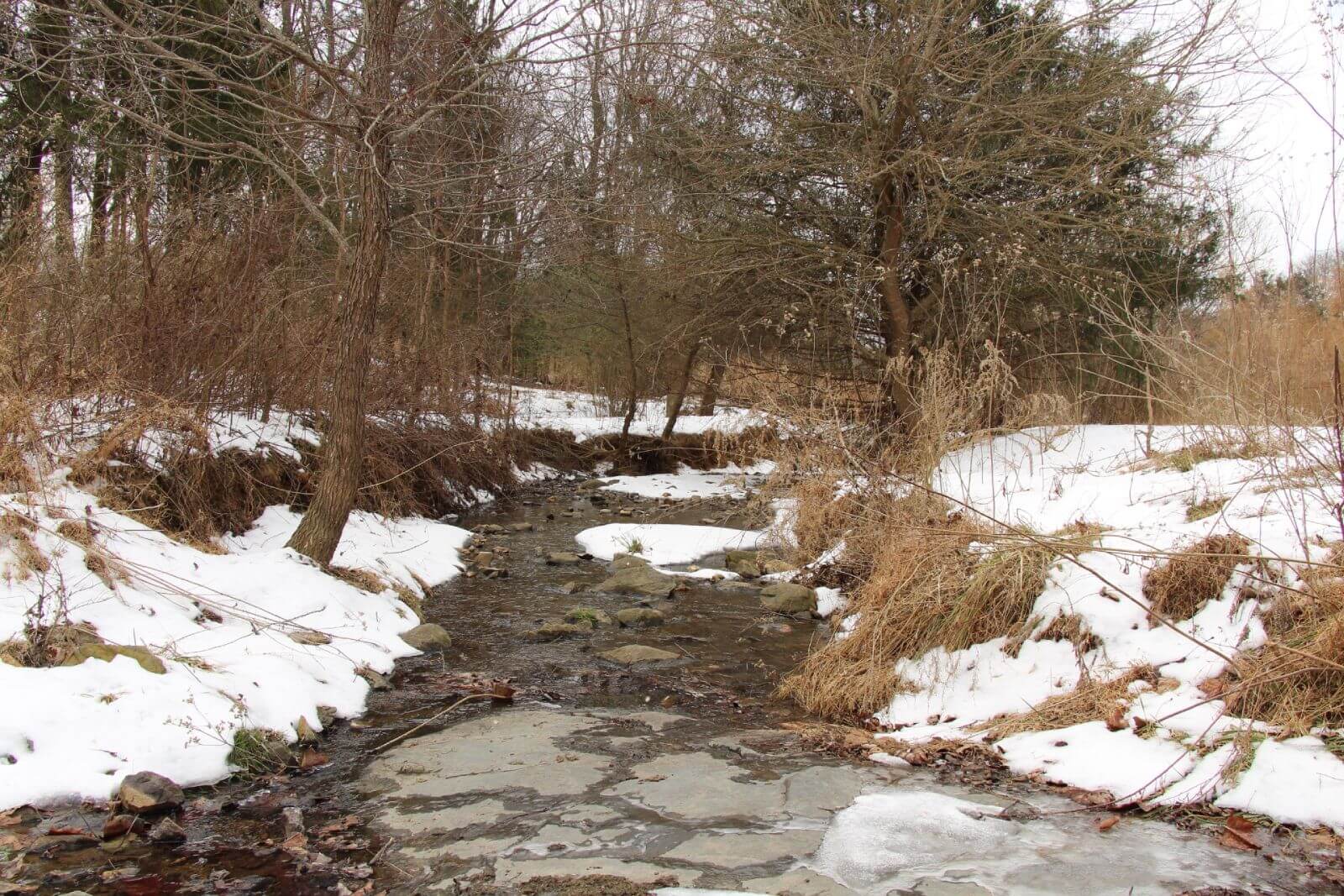
The Flat Rock Conservation Easement is a mitigation project within the Cape Fear River Basin. As part of the Wildlands Engineering's Umbrella Mitigation Bank, this site is designed to restore and protect streams, wetlands, and riparian buffers to improve regional water quality and habitat connectivity. Historically, the Flat Rock site was an active cattle farm, where unrestricted livestock access led to stream degradation, erosion, and loss of riparian vegetation.
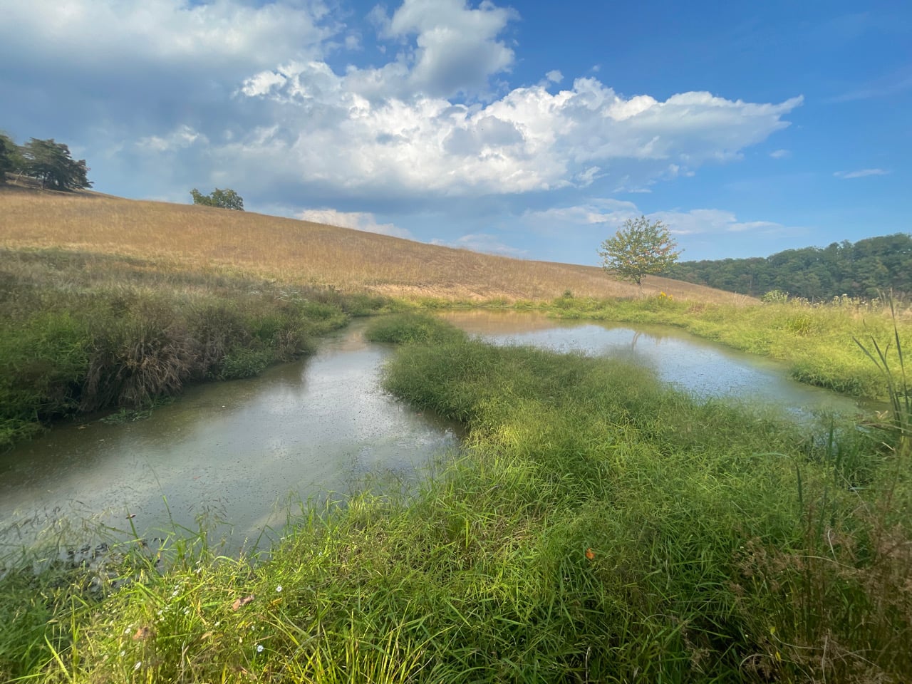
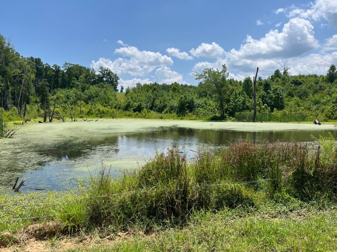
The project aims to restore approximately 7,546 linear feet of streams and reestablish nearly 50 acres of wetland habitat, mitigating past impacts and enhancing ecological resilience.
The restoration plan includes removing livestock, stabilizing stream channels with bioengineering techniques, and planting native vegetation to create a healthy, self-sustaining ecosystem. Additionally, the site will generate stream and wetland mitigation credits, which can be used by developers and agencies to offset environmental impacts elsewhere in the watershed.
Through a permanent conservation easement, the Flat Rock site will be protected for the long term, ensuring cleaner water, healthier habitats, and stronger climate resilience in the Cape Fear River Basin. This project demonstrates how mitigation banking can balance economic development with environmental conservation, preserving critical landscapes while supporting responsible growth.
Mitigation Partner

Our Role
Conservation Easement Grantee
Mitigation Type
Stream & Wetland Restoration
About the Author
Michael brings nearly 20 years of experience to his role as Trusted Conservation Advisor at Unique Places to Save. He has worked to conserve over 200,000 acres across the U.S. while securing over $200M in funding and transacting $500M in land and other real estate.
Learn MoreWe are a trusted non-profit partner for mitigation banks seeking high-quality conservation projects
Learn More