photo of loop road conservation easement mitigation bank north carolina

Loop Road | Conservation Easement

wave

Total Acres

13.8

Project Year

2023

 
Located in Wayne County NCconserve restore habitat badge

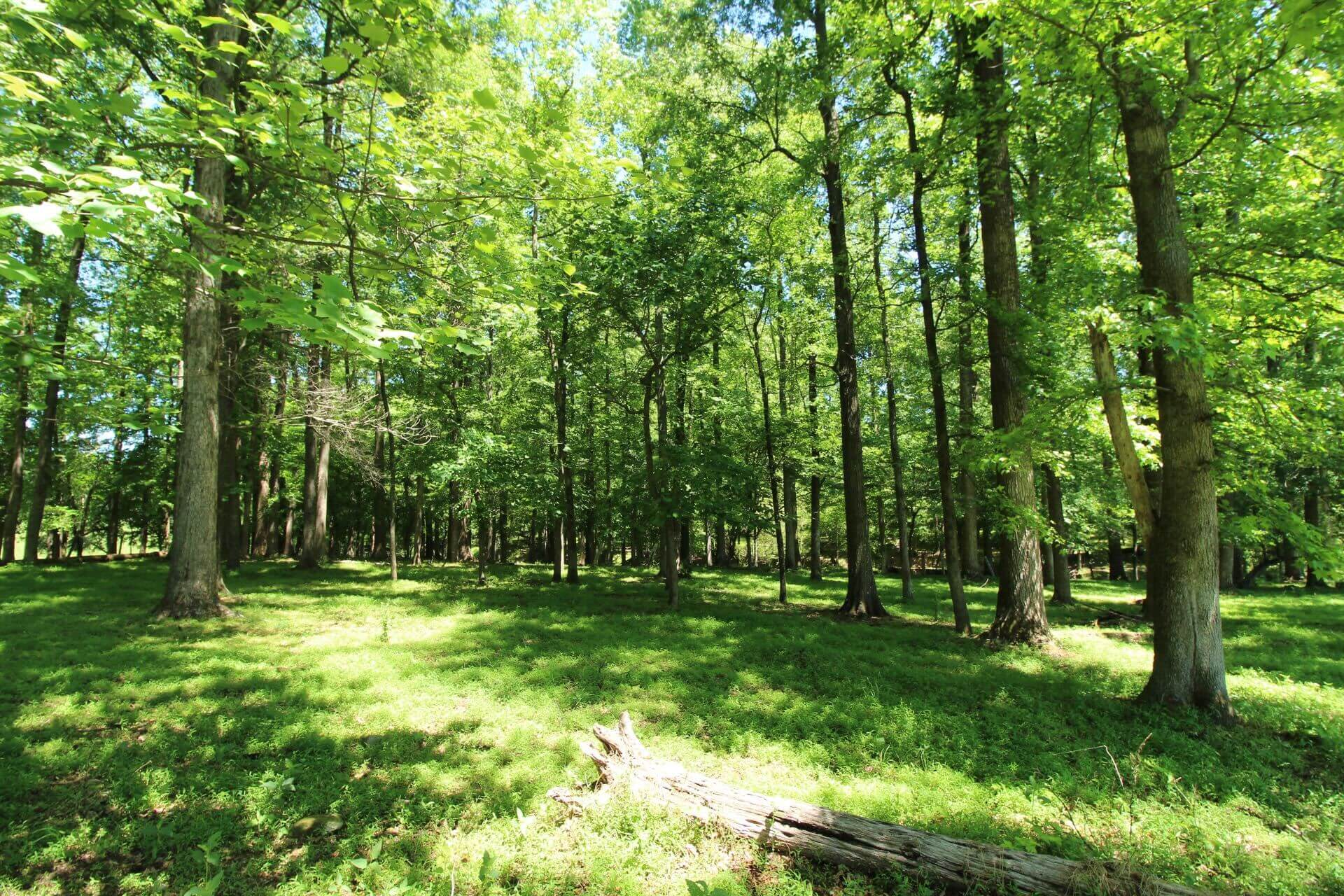
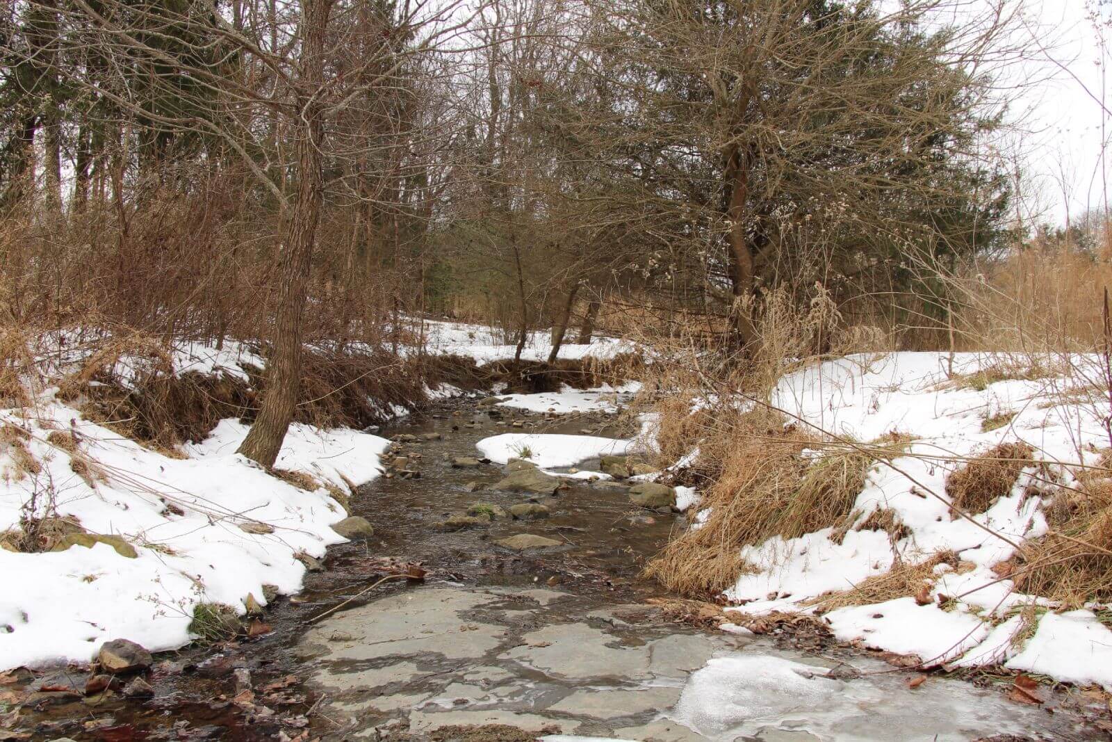
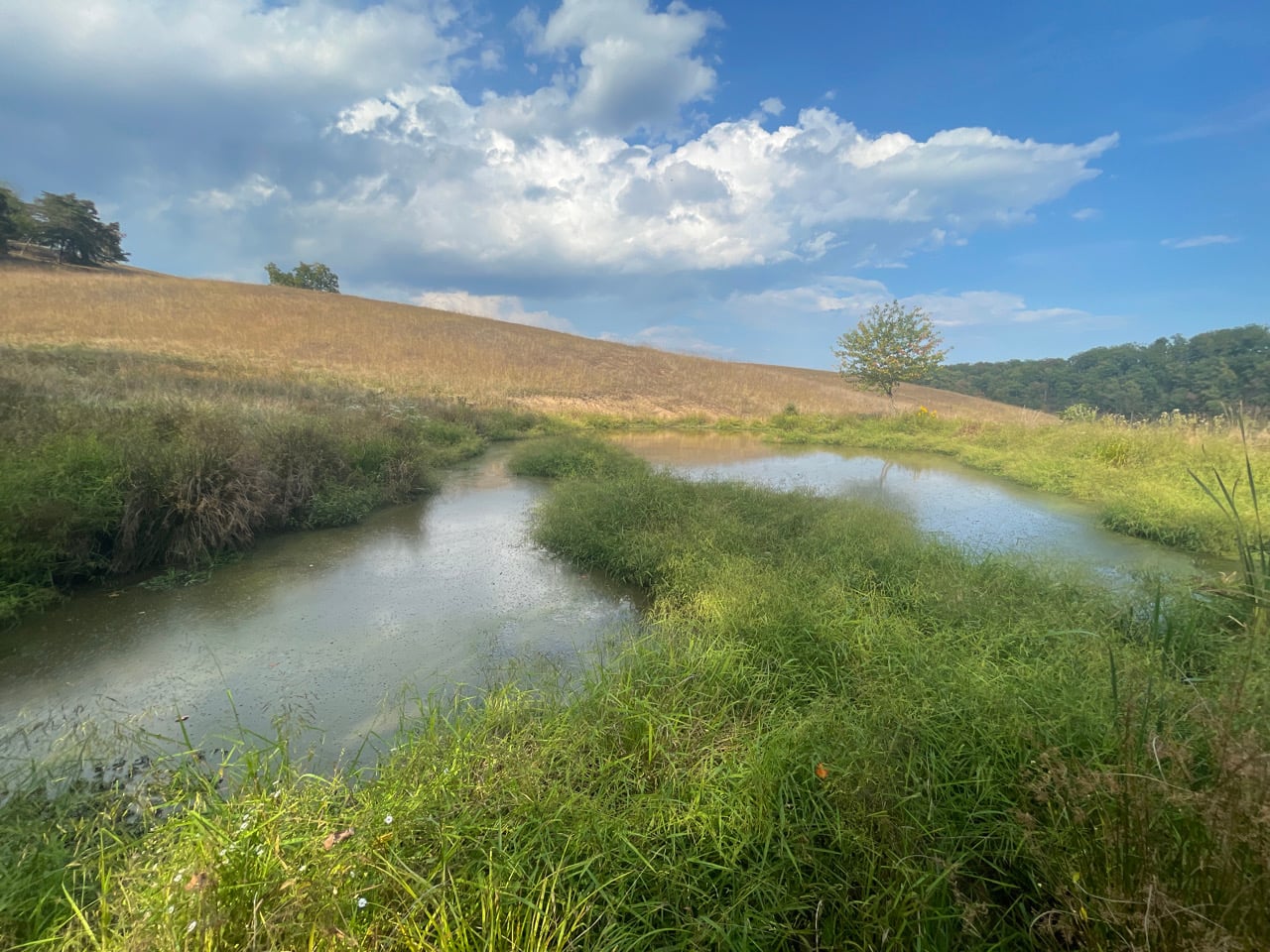
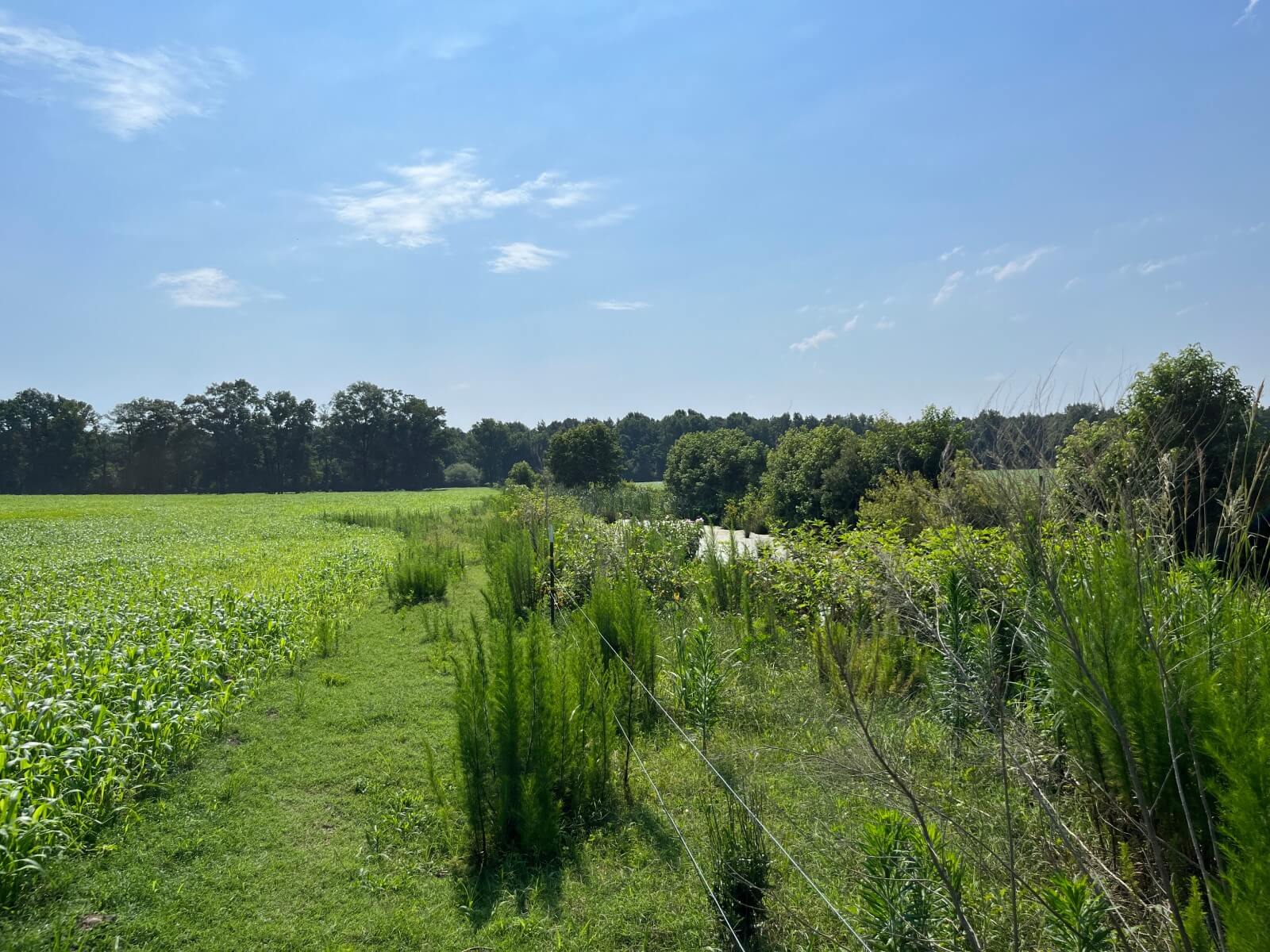
The Loop Road Mitigation Bank Parcel is a 13.75-acre project designed to restore riparian buffer and nutrient offset functions in the Neuse River Basin. Developed by Wildlands Engineering and permanently protected through a conservation easement held by Unique Places to Save, this site transforms agricultural land into a thriving natural corridor.

The project restores native vegetation along waterways that flow into Falling Creek, a stream classified for water supply and nutrient sensitivity. Restoration activities reduce sediment and nutrient runoff, improve water quality, and enhance wildlife habitat.

With over 30,000 square feet of buffer restoration, the site supports regional conservation goals while ensuring long-term protection of sensitive riparian systems. Unique Places to Save provides enduring oversight and stewardship, upholding its mission to safeguard North Carolina’s most valuable natural areas for future generations.


Mitigation Partner

wildlands engineering


Our Role

Conservation Easement Grantee

Mitigation Type

Stream & Wetland
Restoration & Conservation

About the Authormichael scisco

Michael brings nearly 20 years of experience to his role as Conservation Director at Unique Places to Save. He has worked to conserve over 200,000 acres across the U.S. while securing over $200M in funding and transacting $500M in land and other real estate.

Learn More

We are a trusted non-profit partner for mitigation banks seeking high-quality conservation projects


Learn More
photo of river after dam removal

Sam Warnock, April 2025

How Dam Removals Sustain & Enhance Natural Capital - Part One

While dams provide significant benefits, such as reliable water sources and energy with relatively low maintenance costs, these advantages often come at a cost to the environment. Dams can disrupt ecosystems, alter river flows, and generall...

photo of toadstool conservation easement mitigation bank north carolina

Michael Scisco, April 2025

Toadstool | Conservation Easement

Total Acres 79.7 Project Year 2025 Located in Caswell County NC The Toadstool Mitigation Project is a 79.9-acre ecological restoration effort located in the Cape Fear River Basin. Developed by Water & Land Solutions and protected in perpetu...

photo of twin burros conservation easement mitigation bank north carolina

Michael Scisco, April 2025

Twin Burros | Conservation Easement

Total Acres 33.9 Project Year 2023 Located in Caswell County NC The Twin Burros Mitigation Site is a large-scale stream and wetland restoration project within the Cape Fear River Basin. Developed by Wildlands Engineering and permanently pro...

photo of double rock conservation easement mitigation bank north carolina

Michael Scisco, April 2025

Double Rock | Conservation Easement

Total Acres 39.6 Project Year 2022 Located in Alexander County NC The Double Rock Mitigation Site is a stream restoration project designed to improve water quality and ecological health in the Catawba River Basin. Managed by Wildlands Engin...